
Understand Your Fields. Manage Every Acre Smarter.
Better maps. Better management. Better decisions.
No two fields are exactly alike, and even within a single field, soil conditions, water availability, and topography can vary significantly.
Precision Agronomy Solutions uses SWAT MAPS technology to identify these differences and create detailed management zones that help growers better understand their land.
From targeted soil sampling to improved water management, our field mapping services provide the information needed to make more confident decisions.
Stop treating every acre the same. Start managing what makes each acre different.
See the Differences Within Your Fields
Soil. Water. Topography. One clearer picture.
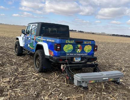
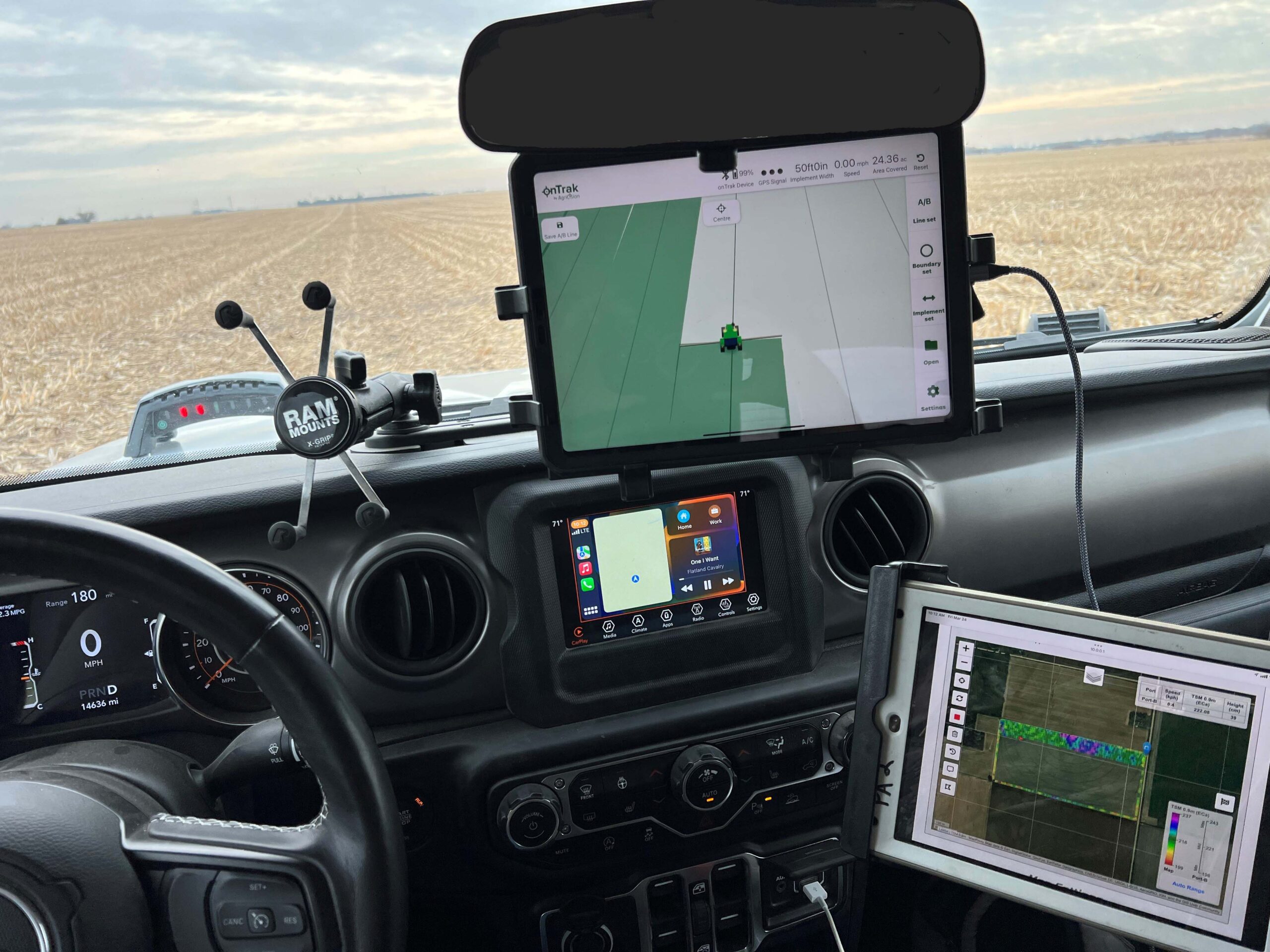
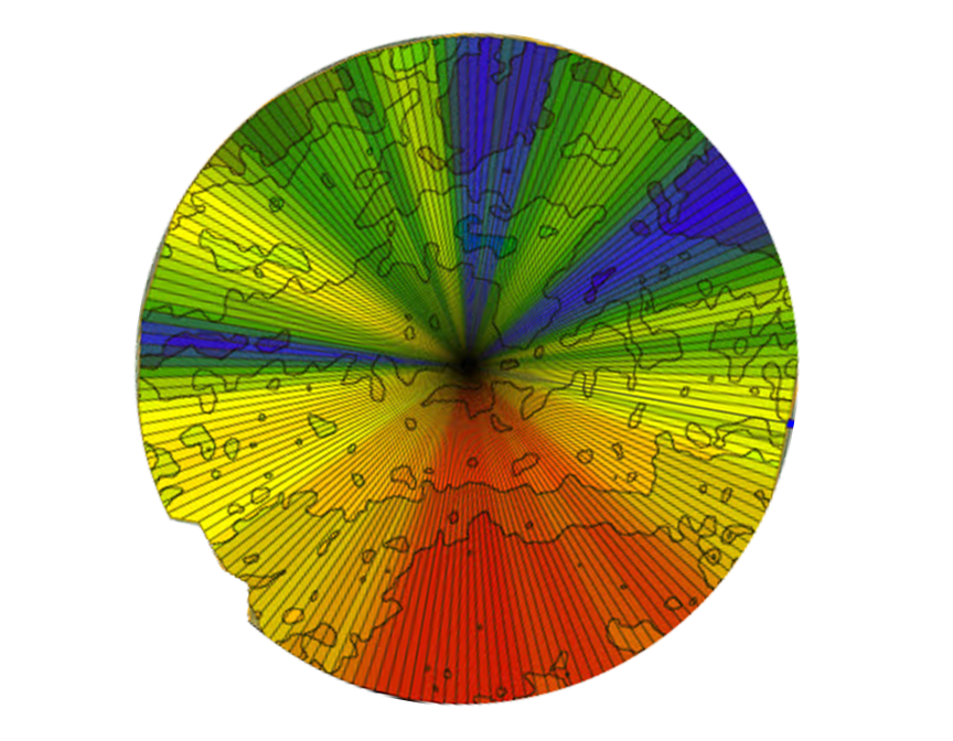
SWAT MAPS technology identifies variations in soil properties, water-related characteristics, and elevation to create detailed management zones within each field.
Using specialized field mapping equipment, Precision Agronomy Solutions collects information that helps reveal differences traditional soil maps may miss.
These management zones provide a foundation for more targeted soil sampling, improved irrigation planning, and smarter field management decisions.
Better understand your land. Make every acre count.
Turn Field Variability into Better Decisions
Detailed management zones. Practical information you can use.
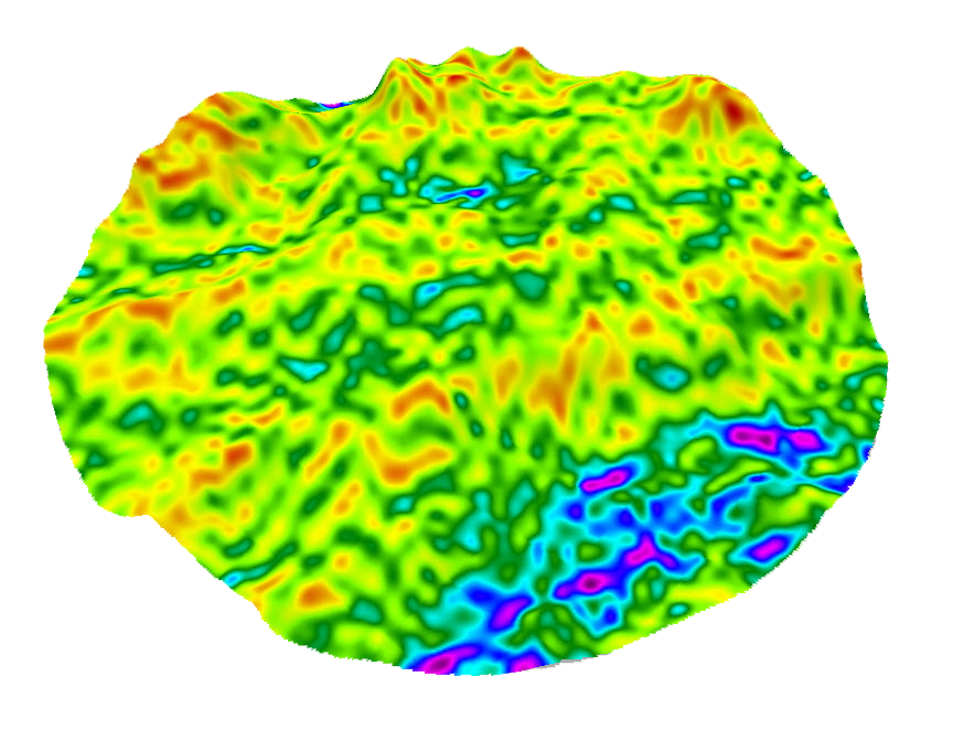
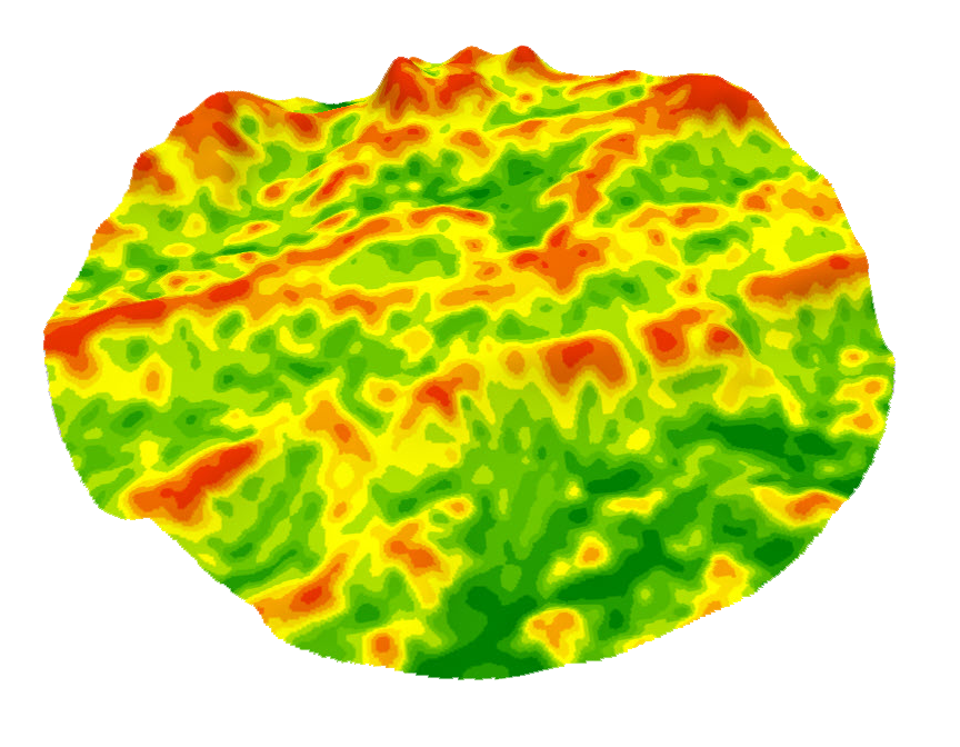
SWAT MAPS brings soil, water, and topography information together to create management zones that reflect the differences within your fields.
These maps help guide targeted soil sampling, irrigation planning, and other field management decisions, giving growers a clearer picture of where their acres differ.
See the differences. Manage with confidence.

Let's Put Your Field Data to Work
Our team can help you turn detailed field mapping into practical management decisions tailored to your operation.